Cartograma · Territory. Evidence. Decision.
Territorial analysis with legal judgement for deciding about the city
We work with governments, organisations, developers and firms on planning, mobility, road safety and zoning. Directed by Rodrigo Cepeda.
Map: jobs reachable in 45 minutes on foot and by bus, Cancún 2026 · One hour by bus
Cases
Three questions, three decisions.
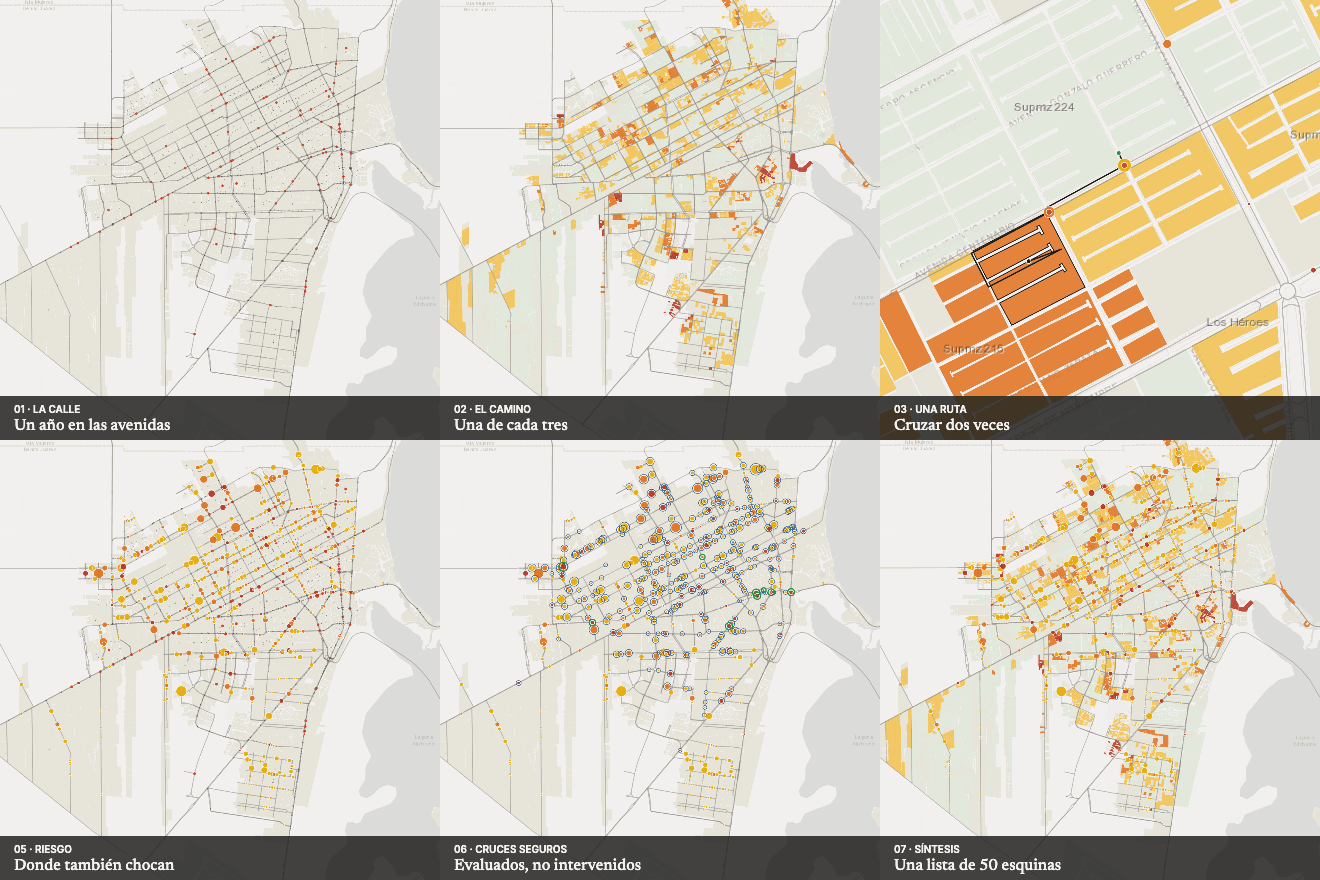
Line C · Road safety
Crossing to get there
Turns an inventory of thousands of crossings into a list of 50 corners that hold half of all school crossings.
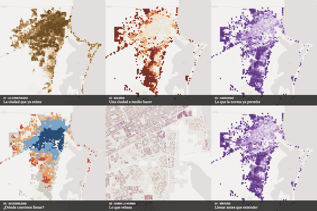
Line A · Zoning and land
Zoning against the built city
Helps decide where to use land that zoning already permits before opening new land.
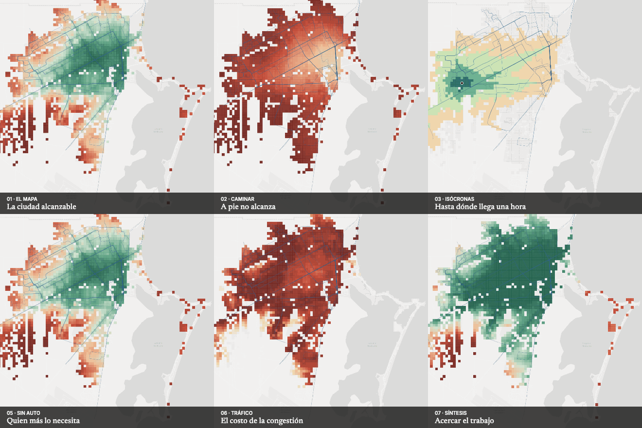
Line B · Accessibility
One hour by bus
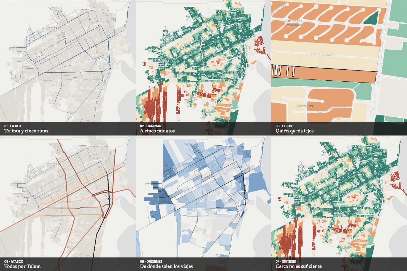
Locates where lack of access to jobs is most severe and measures the cost of congestion: the median resident reaches 31% of jobs in 45 minutes.
Consulting
- A · Zoning, land and urban capacityHow much does zoning allow, how much fits and where should the city grow?
- B · Accessibility, proximity and careWho reaches what, in how long, and who is left out?
- C · Road safety: prioritising corridors and crossingsWhich crossing or segment should be treated first?
- D · Territorial diagnosis and monitoringHow is the city changing, and where should we look first?
A question, not a technique
Every project starts from a concrete decision — where to grow, how far the bus is, who lives behind a gate — and chooses the method afterwards.
Auditable evidence
Official and open data, explicit methods and visible rules, without opaque composite indices. Every figure on the maps is computed from the data.
Honesty with the data
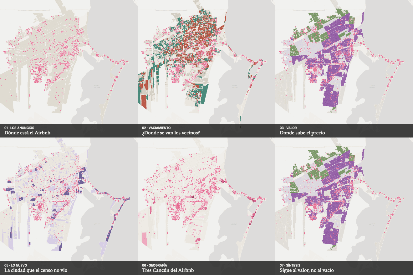
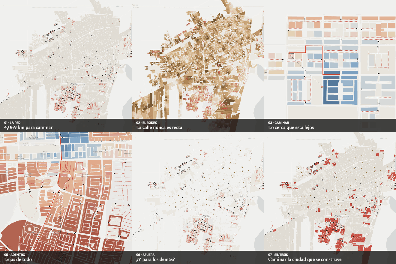
When the data contradict the hypothesis, I say so: Airbnb does not follow emptying, gated estates mainly affect those who live inside and the business directory does not reflect the pandemic.
Recent research
See all 24 projects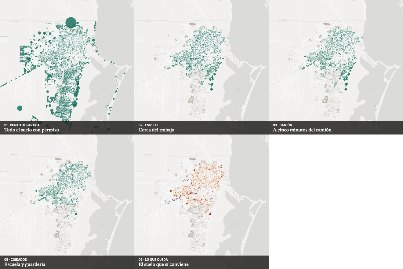
Land, housing and zoning
Where to grow?
Where should Cancún grow?
Urban structure and society
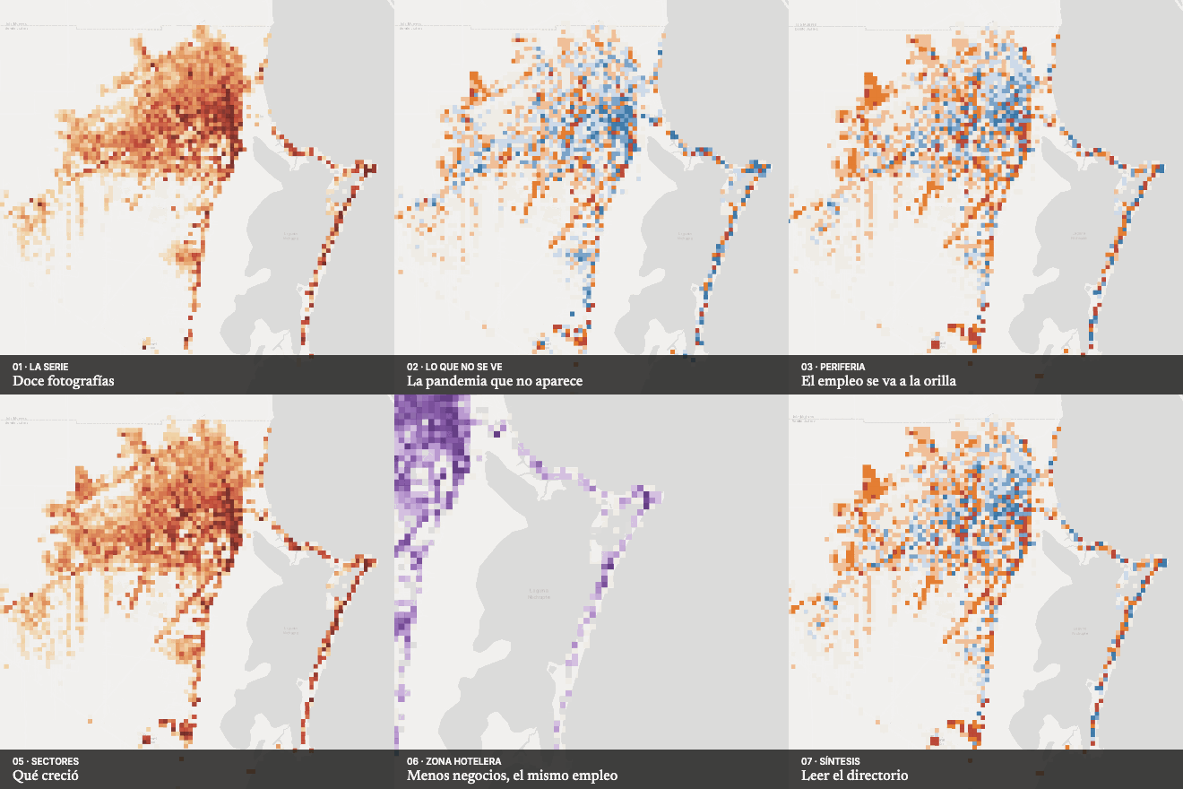
Twelve years of business directory
What do twelve years of businesses tell us?
Land, housing and zoning
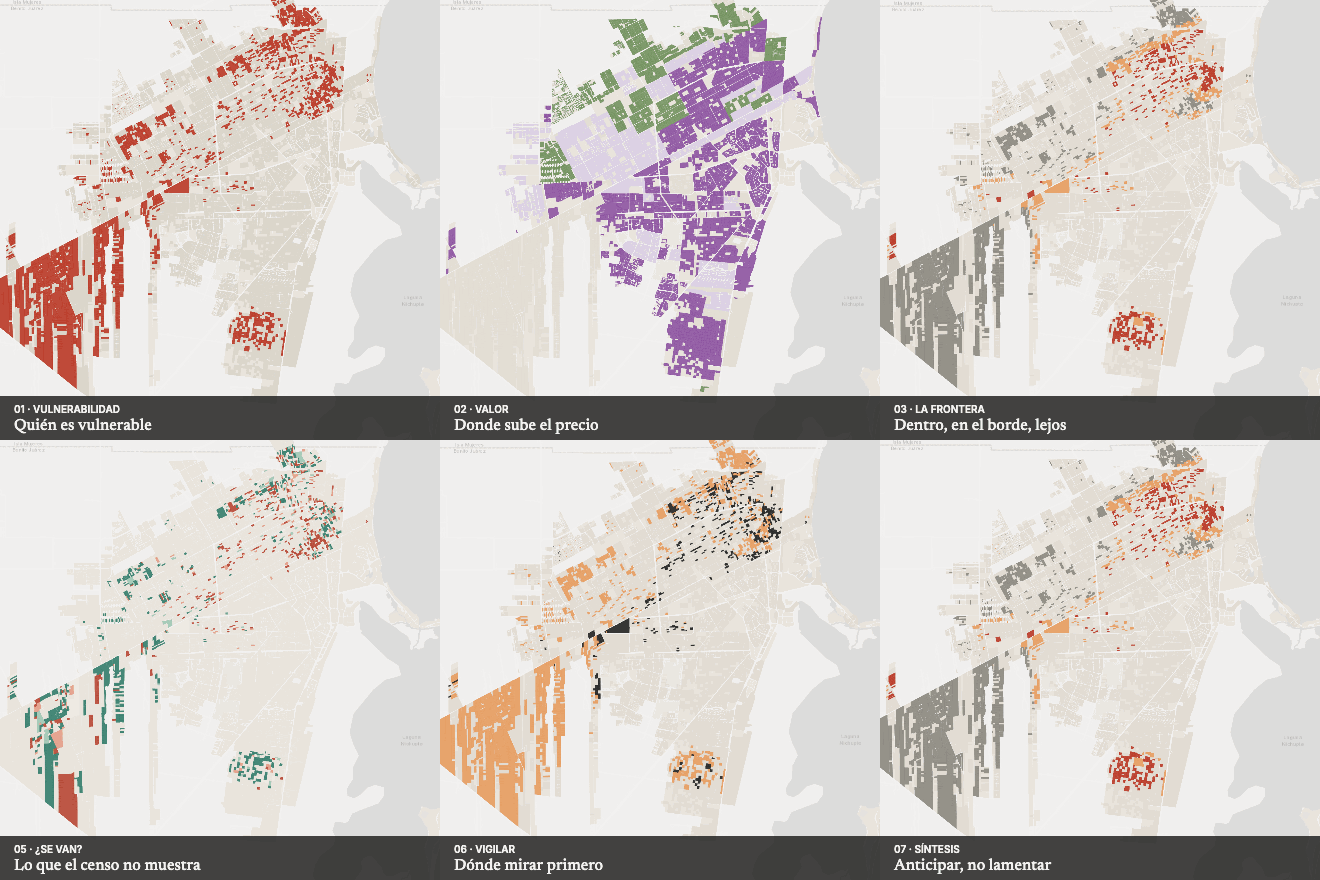
The appreciation frontier
Does appreciation push out the most vulnerable?
Accessibility and mobility
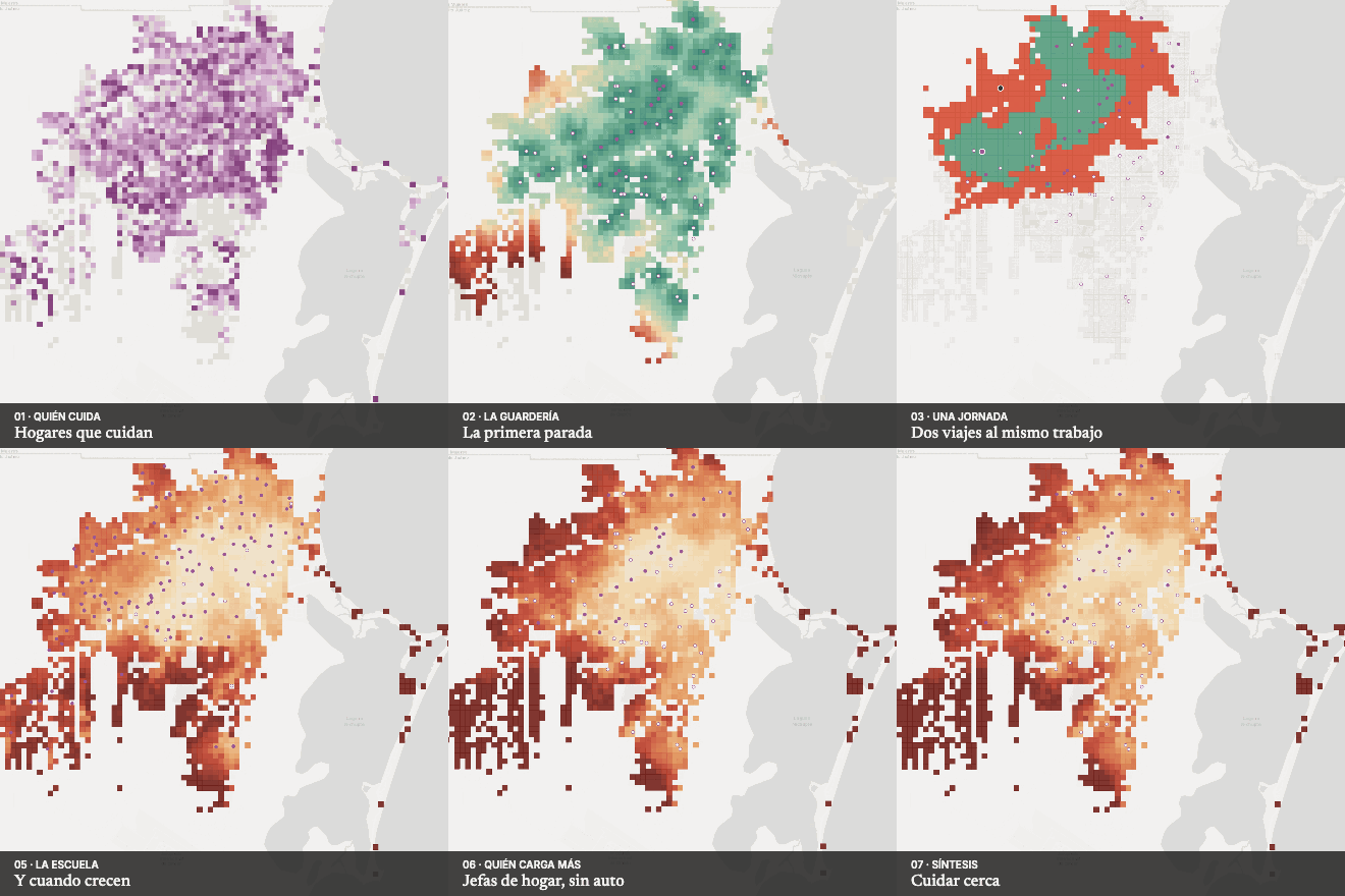
The care commute
How much city does a stop at day care cost?
Urban structure and society
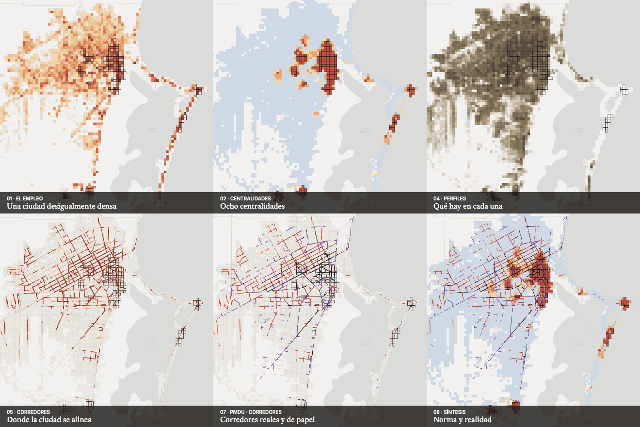
Centres and corridors
Where are Cancún's centres?
Land, housing and zoning
Is Airbnb emptying the city?
Accessibility and mobility
How far is the bus?
Accessibility and mobility
The walled city
How far is what is close?
Safe streets and risk
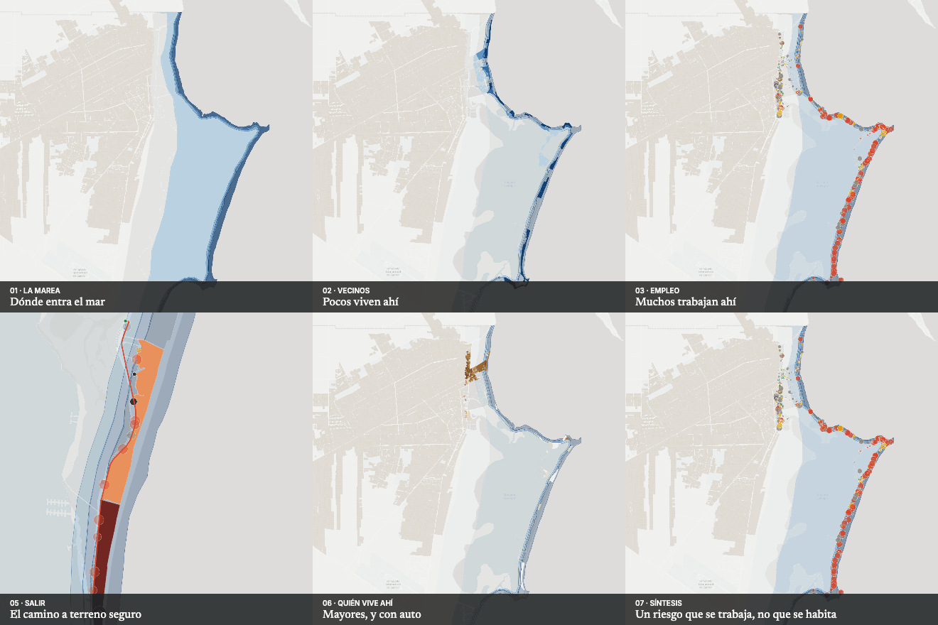
The city under the surge
Which city lies under the surge?
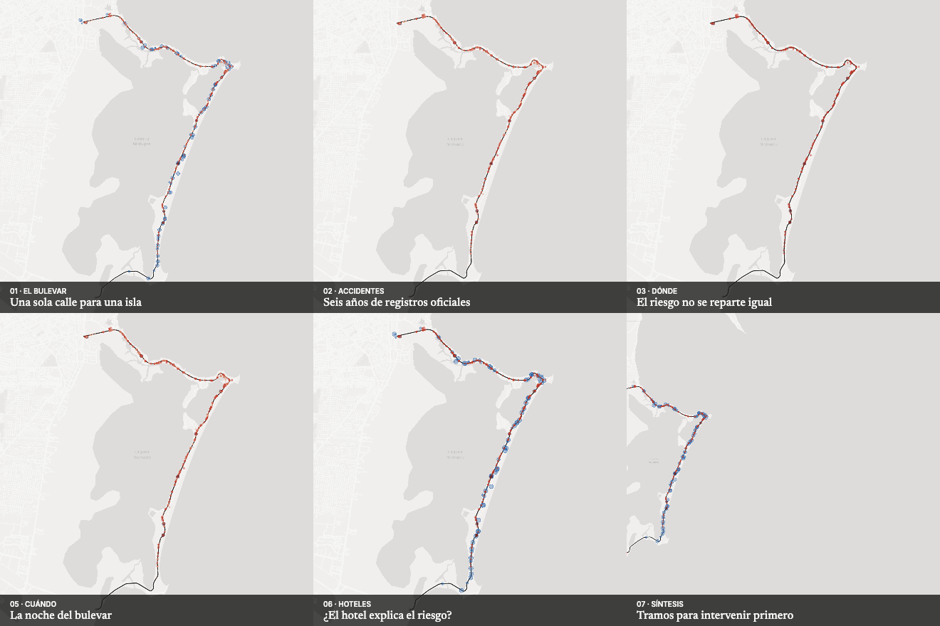
Safe streets and risk
The hotel boulevard
How safe is the destination's main street?
Method · in Spanish
From a territorial question to a decision.
Question, evidence, model, contrast and decision, with stated limits. The data can also contradict the hypothesis; when it does, we say so.
Read the method (Spanish) →Library · in Spanish
More than a thousand open-access documents, organised by theme.
Guides, reports, regulations and papers on streets, mobility, land, gender and care, many of them in English. The documents that support each project’s method are marked.
Explore the library →Do you have a question about your territory?
Tell us what you want to decide. We reply within three working days with a first reading of the problem.